Vectors and weathervanes
October 29, 2025 at 12:51 PM by Dr. Drang
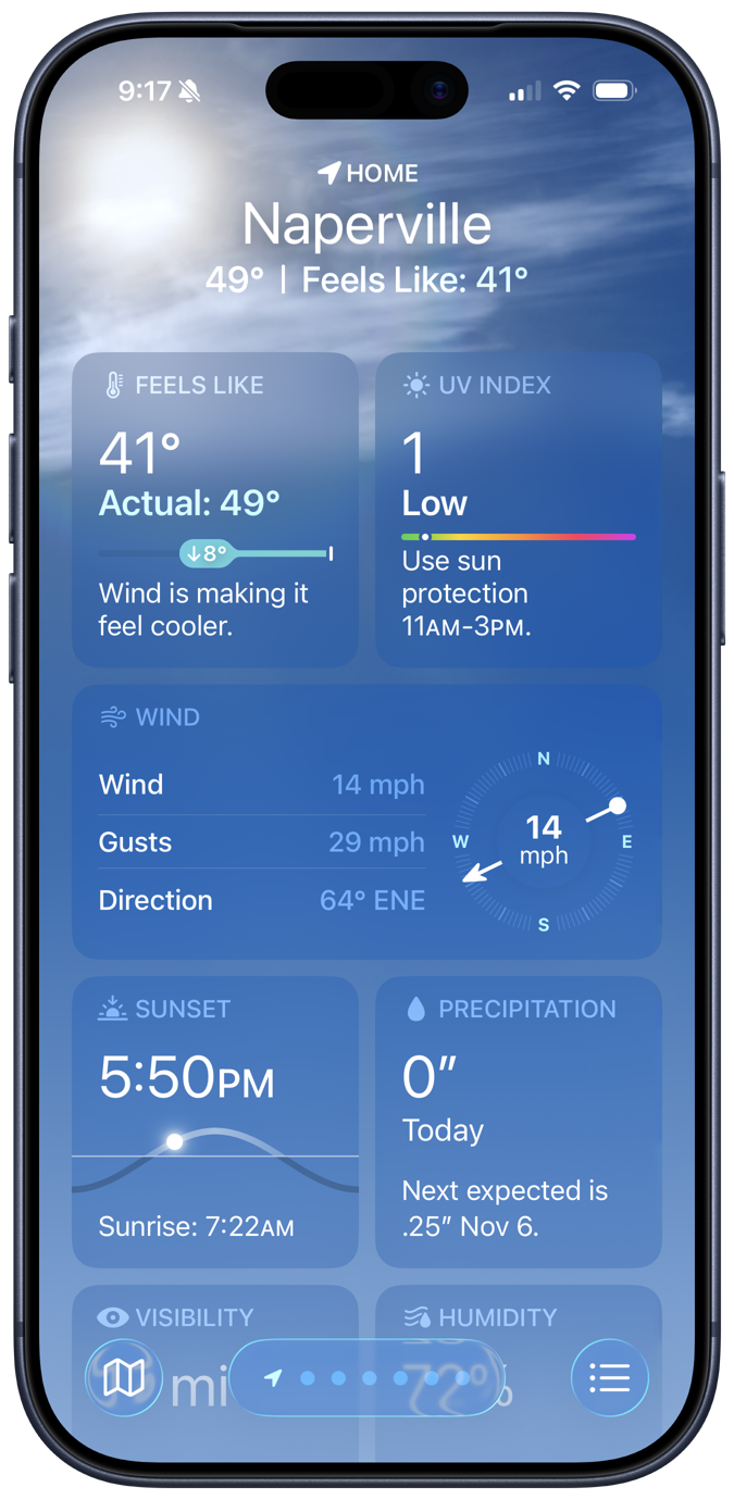
Before going out for a bike ride this morning, I checked the Weather app to see the speed and direction of the wind. On days with a decent wind, I prefer to ride out against the wind and come back with it. Here’s what the app showed:

So I left my house and went east, but my ride is not what this post is about. It’s about the image in the Wind section of the screenshot and why I have to think carefully before making any decisions based on it.
The wind image is an arrow on top of a compass, and the arrow is oriented to point in the direction that the wind is blowing. It’s like a vector representation of the wind, except that the wind speed isn’t given by the length of the arrow, it’s written explicitly at the center of the compass. Apple is like many other weather apps in showing the wind with an arrow like this.
The problem I have—and I realize this is my problem, not Apple’s—is that when I see an image like this, my first thought is of a weathervane.

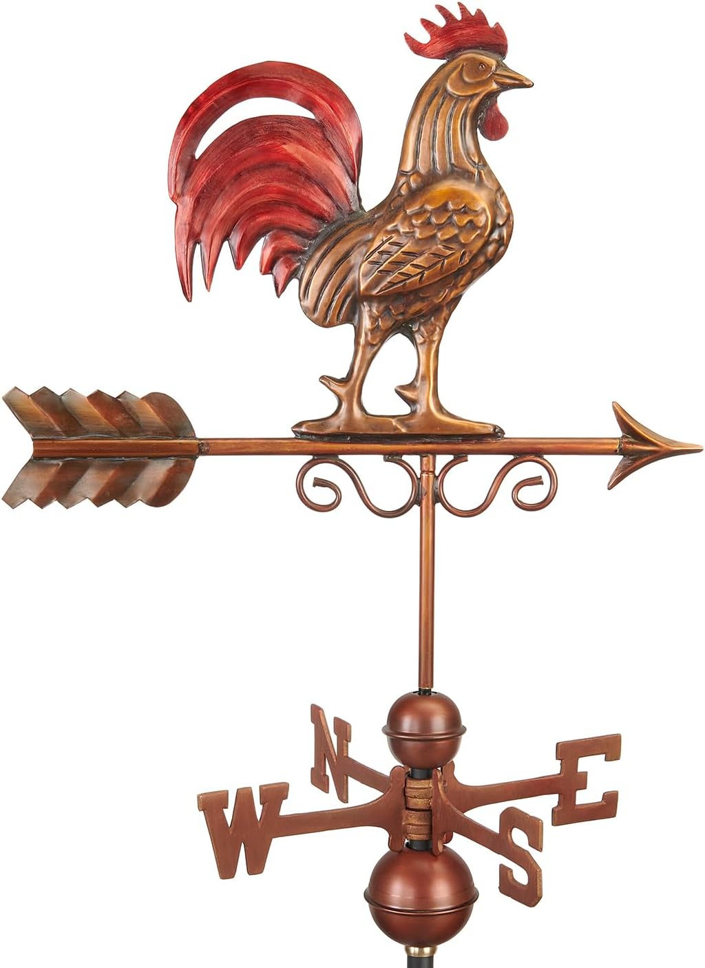
Good Directions weathervane image from Amazon.
The arrow on a weathervane points into the wind, not with it, because the arrowhead is smaller than the fletching. If Apple’s wind image were a stylized weathervane rather than a vector, it would be pointing in the opposite direction. This is why I have to think twice about wind direction.
The terminology we use for wind direction is clearly based on weathervanes. This morning’s wind is described as east-northeast (ENE)—the direction a weathervane would be pointing. It’s possible that Apple puts a dot at the tail of the wind vector to have something that matches the text. Unfortunately for me, the dot makes the arrow look even more like a weathervane, forcing me to think harder. It would be better if I could just read the text in the left half of the Wind section, but I can’t. The image draws my attention.
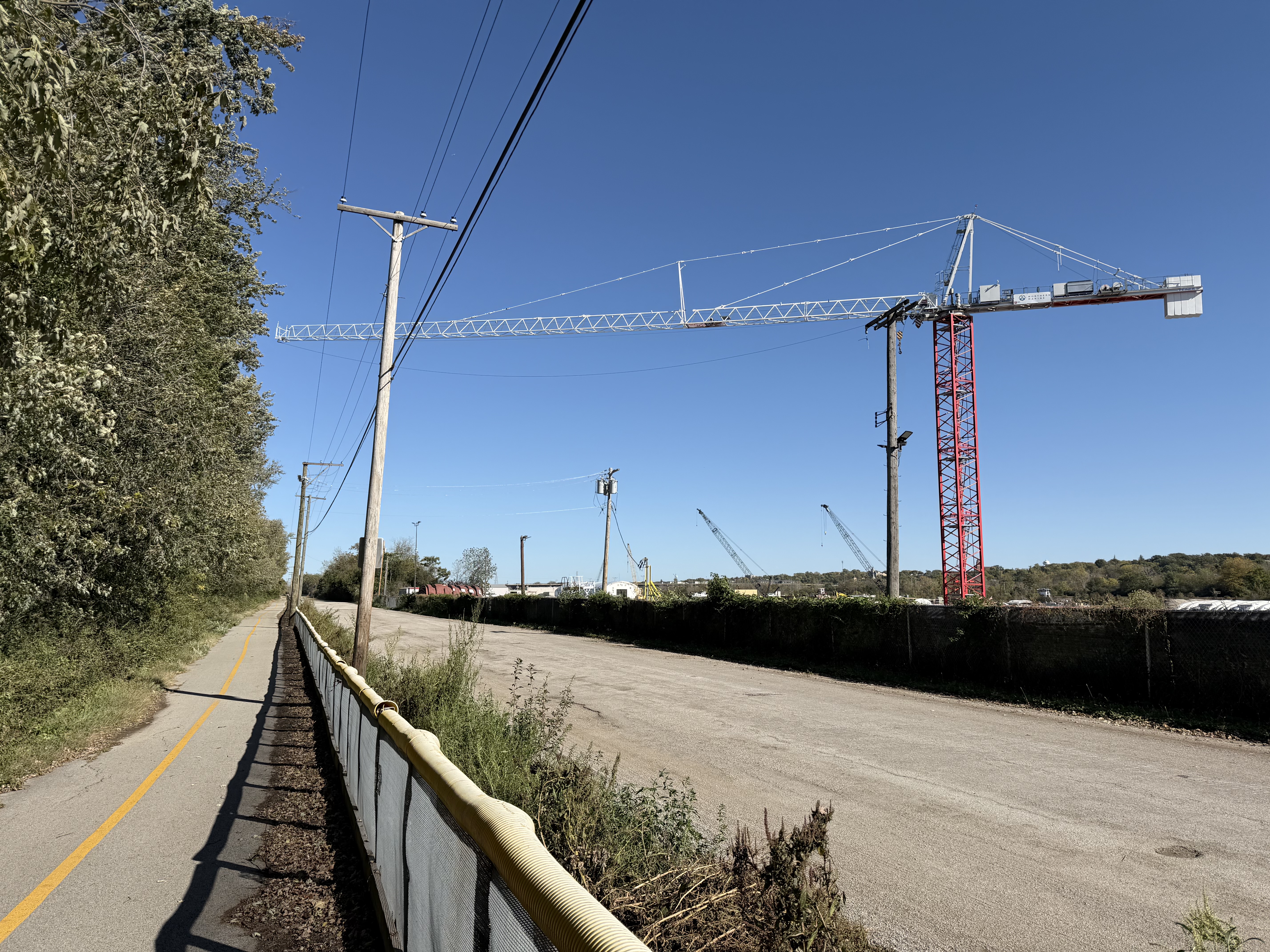
Which reminds me of something. About a week ago, I was riding my bike along the Centennial Trail from Romeoville to Willow Springs. The wind was strong and gusty from the south. As I went along the Chicago Sanitary and Ship Canal by the Lemont Shipyard, the boom of a tower crane extended over the bike path.

Obviously, the tower crane wasn’t moving any cargo onto or off of the bike path. It had swung into that position because of the wind. Tower cranes aren’t supposed to be used in high winds, and operators are trained to disengage the gearing to allow them to swing with the wind, reducing the force that would overturn them. This is sometimes called “weathervaning,” even though the business end of the boom points with the wind (like Apple’s arrow) instead of into the wind.
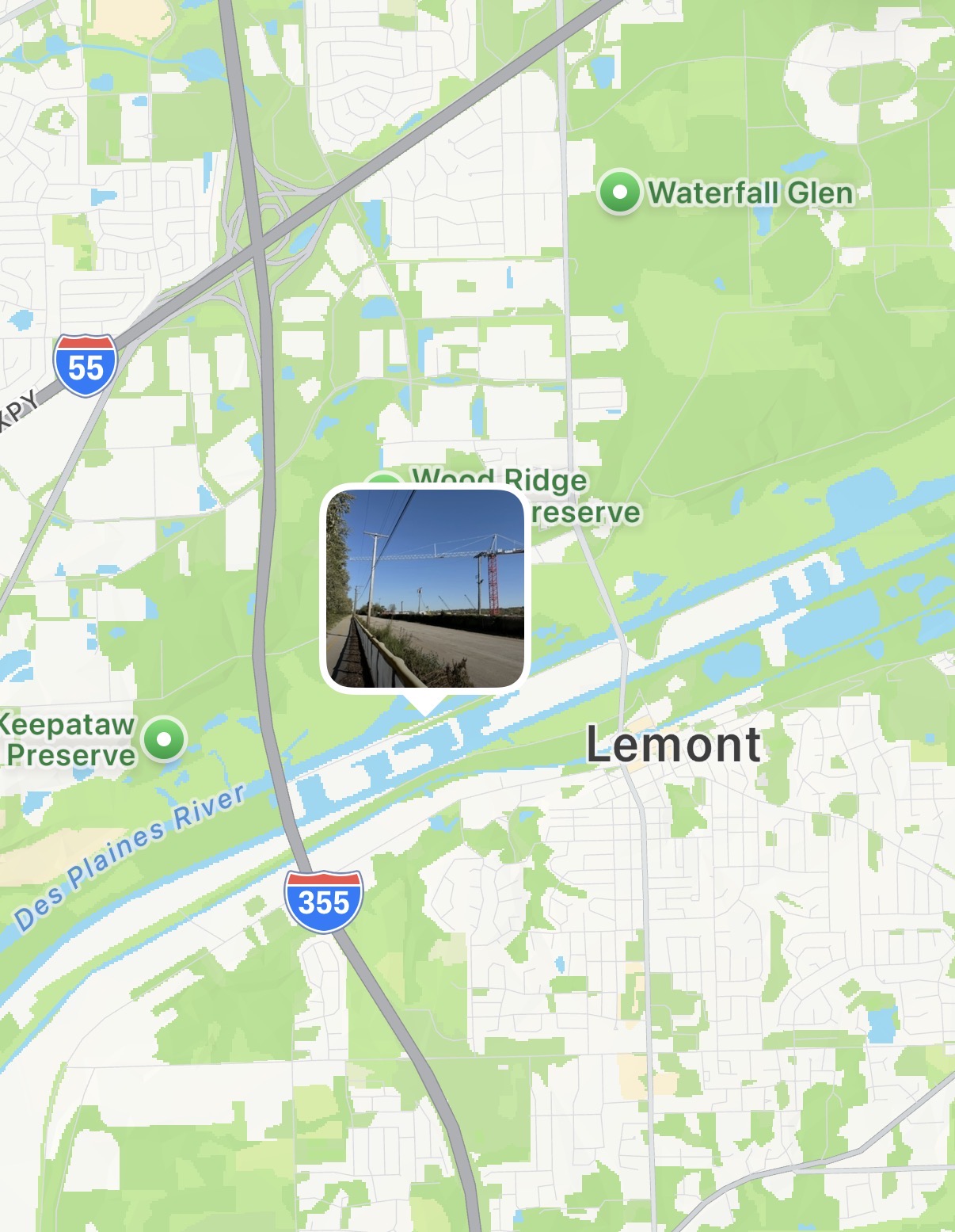
By the way, here’s where that photo was taken, and you can see why a south wind would push the boom into the position shown. This portion of the bike path runs between the Des Plaines River and the canal. Another canal, the historic (and much smaller) Illinois and Michigan Canal, is south of the Sanitary and Ship Canal.

Don’t get the I&M Canal confused with the Hennepin Canal. Unlike the Hennepin Canal, the I&M Canal was an economic success, but very little of it can be kayaked nowadays—too shallow and too filled with downed trees. Its towpath has been turned into a great bike path, though. A few miles north of Lemont, I switched from the Centennial Trail to the John Husar Trail, crossing over the Sanitary and Ship Canal to finish my ride along the I&M Canal.
Today’s ride was nice, but distinctly chillier than last week’s. I’ll soon be hanging up the bike until spring.
